Let the land explain the railway
Plan landforms before scattering scenic details. A contour-and-route sketch linking terrain to the scene story.
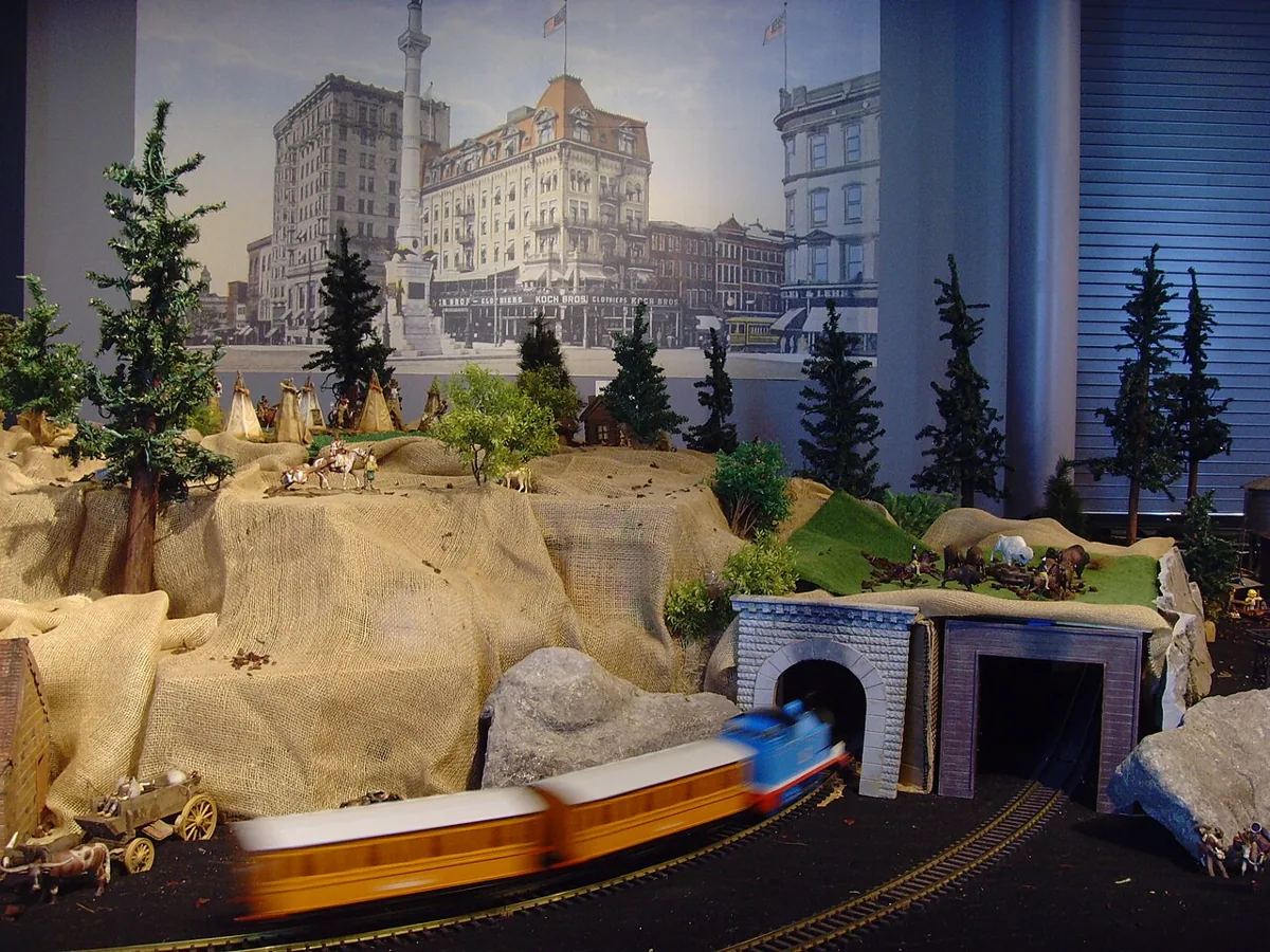
A railway landscape is more convincing when the track appears to pass through a place rather than sit on a flat surface decorated with unrelated hills. Before adding texture, ask what the land is doing and why the railway takes its particular route. Even a fictional scene benefits from that relationship, provided the explanation is presented as a design choice rather than an invented geographical history.
The NMRA scenery guide starts with landform as part of the miniature world. Its planning guide allocates space to scenery and buildings, while the structures guide connects objects with their setting. A contour-and-route sketch brings those ideas into the earliest scenic decisions, before materials make the arrangement difficult to revise.
State the landscape idea
Choose a simple relationship you want the scene to communicate: a route beside rising ground, a station on relatively open land or a line crossing a shallow valley. Limit the first sketch to the broad idea. A small scene rarely needs several unrelated landforms competing to explain its identity.
If modelling a real place, begin with reliable maps, photographs and other appropriate evidence. If the landscape is fictional, record the proposed relationship plainly. Do not attach precise geological or engineering explanations without supporting research. The purpose is a coherent scenic composition, not a technical claim about how a real railway would be designed or constructed.
Sketch height before texture
On a copy of the track plan, draw broad zones of higher and lower ground. Label them as relative levels rather than inventing exact elevations before the available space and construction are understood. Add the direction in which the ground appears to continue beyond the model.
Look for places where the land changes for no apparent reason except to occupy an empty corner. A hill can frame a view, but its outline should relate to the surrounding scene. An open area can explain a settlement or give a train visual room. Do not assume every unused patch needs a raised feature to count as finished scenery.
Compare the track relationship
Trace the route through the height sketch. Ask which ground is beside, above or below it. Identify where the model suggests a cutting, embankment or crossing, and research the relevant form if a specific prototype interpretation matters.
Keep the scenic landform separate from the operating track geometry. Moving the visual ground around a line is not the same as changing the railway's gradient. Any track change brings vehicle and construction requirements that need their own evidence. A scenic sketch should not quietly impose a demanding climb merely because the hill looks attractive in the drawing.
Place buildings on understandable ground
Add simple footprints for important structures. Consider how a building meets the land and how the implied road or path reaches it. The NMRA structures guide emphasises placing structures in a setting that makes sense instead of simply resting them on the layout.
Check the whole footprint, not just the most visible facade. A station or yard can suggest a broader area continuing off scene, but the visible edges should not contradict it. Use card mock-ups where helpful. They allow the relationship between building and slope to be judged before detailed construction encourages you to retain a poor position.
Test the normal view
Look at a temporary three-dimensional arrangement from the intended viewing positions. A landform that seems modest from above may hide the train or block an operator's view at eye level. Conversely, a low ridge may provide enough separation without needing a dominant mountain.
Try a few documented variations with the same track and building assumptions. Record what each hides, reveals and connects. This is a visual comparison rather than a measured performance test. Keep the choice tied to the scene's intended subject and the real user's needs, not merely to the most dramatic photograph of the mock-up.
Preserve working access
Mark the track sections and mechanisms that need routine attention. Compare them with the proposed landform, including any hidden route. If scenery must be removable, identify the lifting direction and where it rests during maintenance before building a fragile shell over the problem.
Material selection and structural support need information appropriate to the actual build. Follow product guidance rather than assuming all foams, adhesives or coatings are interchangeable. The landscape sketch defines the form you want; it does not prescribe a universal construction recipe or establish that a particular material combination is suitable.
Keep one landscape logic
Before moving to ground cover, describe the scene in a few sentences using land, route and activity. Check whether the visible forms support that explanation. If the description requires several unrelated excuses, simplify the landform or revise the placement while changes remain straightforward.
Retain the final sketch and photographs of the mock-up. They preserve the intended relationships when later vegetation and surface detail make them harder to see. A landform-first approach does not require a large or mountainous scene. It asks that the ground, the railway and the places around it belong to the same small world.
Take it to the workbench
A field sheet for this article. Use your browser’s print command or copy the headings into your project notebook. Keep facts, observations and open questions distinct.
| Landscape and route idea | Your notes |
|---|---|
| Relative height zones | Your notes |
| Building-ground relationship | Your notes |
| Normal-view observation | Your notes |
| Maintenance opening | Your notes |
Keep track level explicit
Hypothetical worked example. A fictional ridge frames a level railway. Raising the ridge changes the view, not the track gradient. If the next sketch raises the rails too, open a separate geometry question instead of treating the change as ordinary scenic shaping.
This is an editorial exercise, not a report of a physical test.
Sources & further reading
- National Model Railroad Association — Scenery
- National Model Railroad Association — Layout Planning
- National Model Railroad Association — Structures
Sources support the factual background. Worksheets and hypothetical exercises are editorial proposals, not reports of tests performed by this publication. Consult the relevant current product documentation before applying product-specific advice.